
Catchment weather, slope change, and a file a clerk can keep.
Water on the catchment is a map problem before it is a relief problem.
Slope and river belt change is visible on a repeat layer.
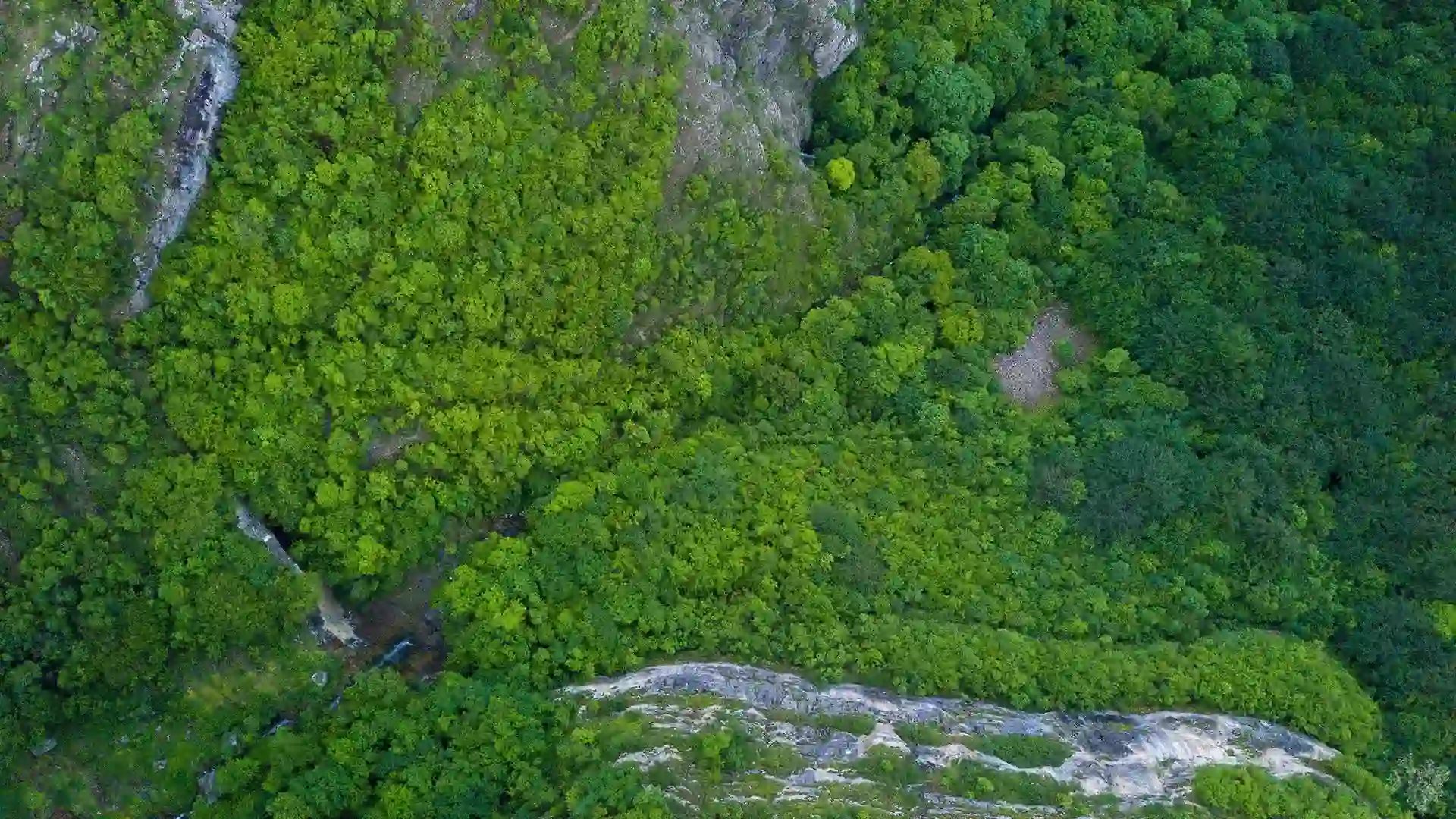
Repeat imagery shows what changed at the canopy, terrace, and field edge.
Restoration and drainage works need a file a clerk can keep.
Purpose-built geospatial solutions for every layer of the agricultural value chain, from satellite field intelligence to government procurement systems.

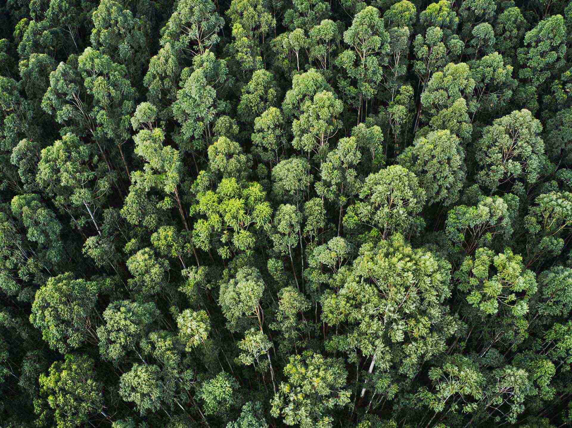
Satellite based weekly crop health reports with anomaly alerts delivering continuous field intelligence without manual inspections.

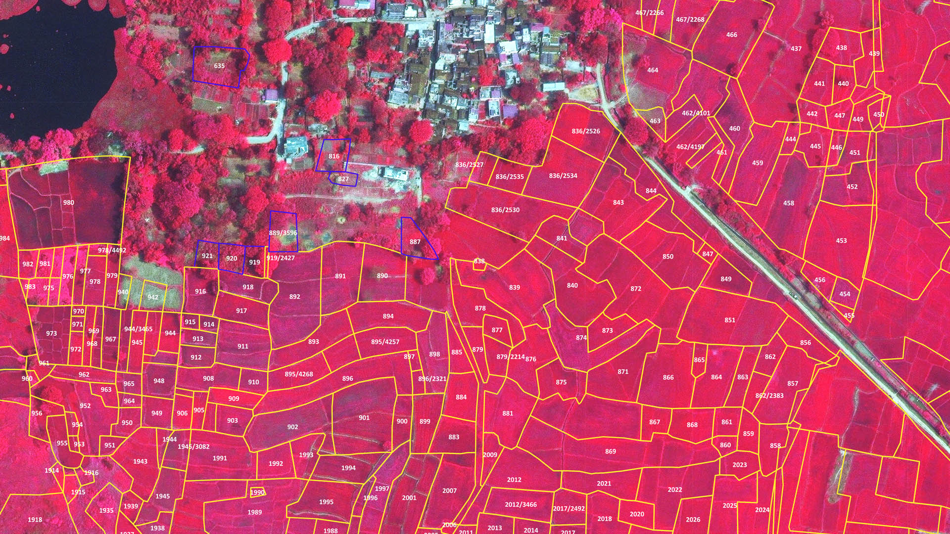
Cadastral land mapping, rights and restrictions analysis for agriculture planning enabling accurate, legally traceable land use decisions.

Data-driven input recommendations reducing cost and environmental impact tailored to soil type, crop stage, and real time weather.
Satellite based damage assessment for parametric insurance products objective, audit ready data to validate claims and prevent fraud.
Farm to buyer tracking for export crop compliance and market access ensuring full end-to-end traceability across supply chains.

GIS-based planning tools for government departments managing land use and crop procurement from field data to policy level dashboards.

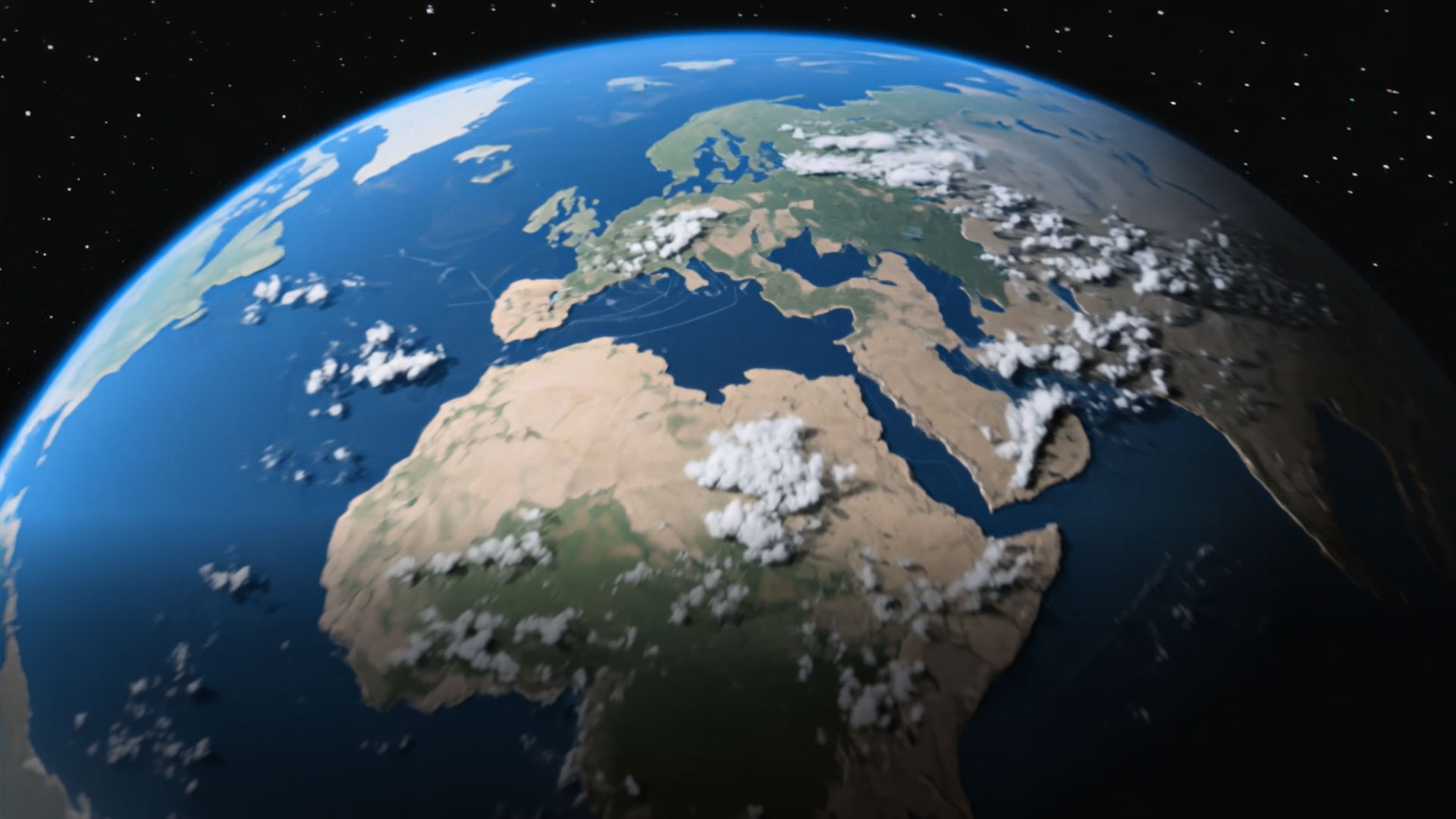
Hyper local weather modeling integrated with crop stress prediction enabling timely decisions on planting, harvesting, and pest management.

Implementing IT and GIS technologies for precision farming practices, including farm equipment tracking and variable rate application management.
From statewide crop monitoring to precision farming analytics — our team will map the right geospatial solution to your specific goals.